

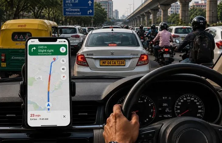
Daily trips to work or for errands are often complicated by traffic jams, unexpected stops and a weak internet connection. The Google Maps app can make the journey much easier if you use not only basic navigation but also its additional features.
Below are seven simple Google Maps techniques that will help you save time, plan your route better and reduce stress on the road.
1. Adding a stop without changing the entire route
If you need to stop at a petrol station, a café or somewhere else during your journey, you do not have to cancel your current navigation. While driving, tap the search icon (magnifying glass), find the place you need or choose from the ready-made categories such as petrol stations or restaurants. The app will show how much extra time the detour will take. After selecting the place, tap “Add stop” and continue your route. You should only change settings when the car is stationary, or ask a passenger to do it.
2. Set the time you need to arrive
For important meetings, flights or appointments, you can set an arrival time instead of guessing when to leave. Enter your destination, tap “Directions”, then the three-dot icon and select “Set depart or arrive time”. In Arrive mode, set the date and time, and Google Maps will suggest an approximate departure time, taking the traffic situation into account.
3. Downloading maps for offline use
In areas with a weak mobile internet signal, offline maps are very handy. To use them, find the location you need, open the additional menu (“More”) and select “Download offline map”. Adjust the area boundaries and tap “Download”. Once downloaded, you can use navigation for driving within this area even without an internet connection. At the same time, offline mode does not show live traffic, alternative routes, or walking, cycling and public transport routes.
4. Sharing live trip progress
If someone is waiting for you to arrive, you can share your route with them. Start navigation, swipe up the information panel and tap “Share trip progress”. Then choose the contact or app through which you want to send the link. The person will be able to see your current location, destination and estimated time of arrival. Data sharing stops automatically once navigation ends or you arrive.
5. Saving your parking location
To avoid searching for your car in a large car park, you can save where you have parked. After parking, tap the blue dot that marks your location and select “Save your parking” on Android or “Save parking” on iPhone. When you are heading back, type Parking location or Saved parking into the Google Maps search box to quickly find your way to the car.
6. Checking traffic before you set off
Before starting your journey, it is worth checking the traffic layer to assess congestion and possible delays. To do this, open Google Maps, tap the layers icon (the icon with a “stack” of squares) and in the map details section select Traffic. Coloured lines will appear on the route: green means free-flowing traffic, orange indicates moderate delays, red shows heavy congestion. This will help you decide whether to leave earlier or choose a different route.
7. Voice commands while driving
You can also control Google Maps with your voice, without touching the screen. With voice commands you can search for places, ask about petrol stations, clarify directions or get information about your route. This is especially useful when driving, as it allows you to take your eyes off the road less often.
Google Maps combines data about your location, the map and the traffic situation to help you reach your destination more quickly and safely. Using these features can make your everyday journeys noticeably more comfortable.