

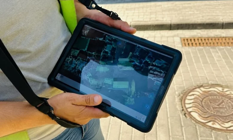
Employees of LMKP «Lvivvodokanal» continue to survey and digitise Lviv’s sewer networks in order to deal with emergencies more quickly, plan repairs more accurately and reduce the risk of damage to underground utilities during construction works. The data obtained are entered into the city’s unified electronic map of engineering networks.
As of now, 61% of sewer pipes and 54% of sewer manholes have already been mapped in digital format. In total, the sewerage service of the utility is responsible for 30,050 manholes and 928 km of networks.
Over the past year and the first half of the current year, specialists from the service have surveyed and digitised 16,218 manholes and approximately 567.6 km of sewer pipelines. In the course of this work, each facility is located on the ground, its technical condition is checked, its exact coordinates and other characteristics are recorded, after which the information is entered into the geographic information system.
«Digitising the networks is not just transferring old diagrams into a computer. Every manhole has to be found, inspected, its exact coordinates determined, its technical characteristics checked, and only then can the data be entered into the geographic information system. That is why this work is lengthy and painstaking, but it lays the foundations for modern management of the city’s sewer network», the municipal utility explains.
Lvivvodokanal reminds residents that similar work was previously carried out on the water supply networks. Specialists digitised more than 2,584 km of water pipelines and updated data on 9,802 water supply manholes. In this way, the city’s water supply network has already been fully converted into electronic format.