

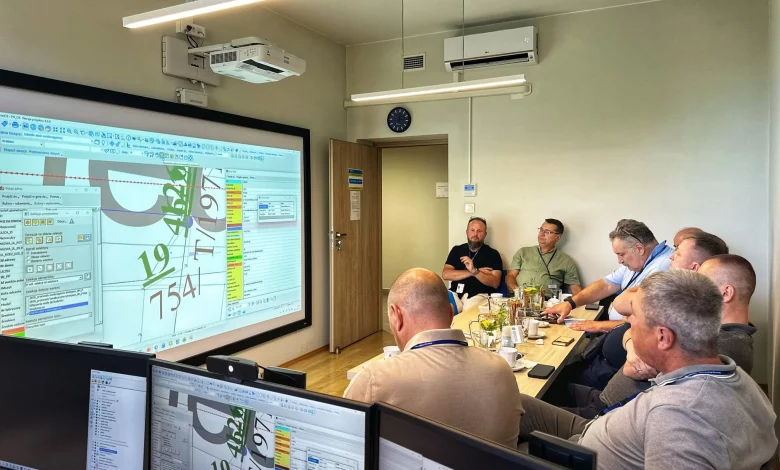
The Drohobych community is continuing work on the creation and development of a geoinformation system that is to become the foundation for modern geospatial planning of its territory. The project is being implemented using the community’s own resources, without additional funding, with methodological support from partners in Kraków.
The geoinformation system is designed to bring together, on a single digital platform, different types of data about the territory: engineering and transport infrastructure, land use, urban planning decisions and other indicators. This makes it possible to see the community as a whole and to take more well-founded management decisions.
During a recent visit by a Drohobych delegation to Kraków, local specialists familiarised themselves with how geoinformation systems and spatial data have been used there for many years. The experience of the Polish partners is helping Drohobych residents to develop their own system more quickly and to avoid mistakes their colleagues have already encountered.
“GIS should become one of the key tools for understanding how the community is developing. When information about the territory is collected in a single system, we can not only see individual objects, but analyse them in relation to one another and make decisions that take into account the real situation on the ground,” notes Volodymyr Herii, Head of the Information Technologies, Digital Transformation and Technical Information Protection Sector of the Department for Digitalisation, Information Policy and Communication of Drohobych City Council.
At present, the basic framework of the system has been created in Drohobych: data are being collected and plotted on a single map with the possibility of further phased expansion. One of the first areas has been the mapping of engineering networks, in particular the water supply and heating networks of Drohobych and Stebnyk.
In future, the city council’s structural units, municipal enterprises and other community institutions are to be more actively involved in populating the GIS. It is expected that this will make it possible to build the most comprehensive picture of resources and facilities across the community’s territory.
The development of the GIS is part of broader work on geospatial planning for the Drohobych community, which includes not only Drohobych and Stebnyk, but also rural settlements. Effective planning for the development of such a territory requires up-to-date information on resources, the location of infrastructure, land use, potential development zones and areas that need conservation or a special regime of use.
In December 2024, the executive committee of Drohobych City Council approved planning districts for the integrated development of the community, and also adopted a decision on the introduction and maintenance of a register of these districts and their profiles. In future, these data are to be used in the preparation of urban planning documentation and strategic planning for the development of the Drohobych community.